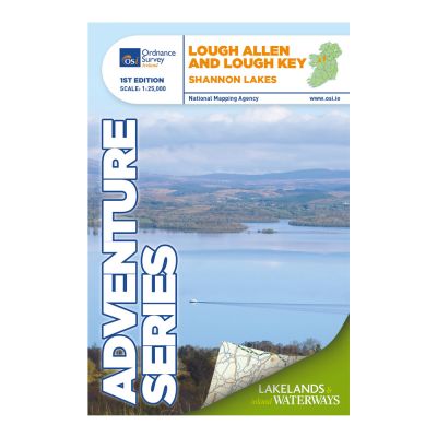


Description
Lough Allen & Lough Key. The Adventure Series is an activity oriented map which shows detailed landscape information. It provides detailed mapping in specific locations for the outdoor enthusiast such as mountaineers, hill walkers, cyclists and other users of the Irish countryside.
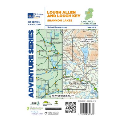
This map covers a section of the Shannon River from Lough Allen in the north and Lough Key extending down to Carrick-on-Shannon following the flow of the River Shannon. The counties of Leitrim and Roscommon comprise the majority of the map, with small areas of County Cavan and County Sligo also included.
Two Discovery maps at 1:50 000 also cover this area, with Sheet 26 covering the northern part of the map and Sheet 33 covering the southern part.
Some of the features included are National Roads, National Secondary Roads, Regional Roads, Waymarked walks, Tracks and Trails, Cycle Routes, Forestry, Land Terrain, Spot Heights, Contours, Named antiquities, Local amenities, National Parks, Lakes, Rivers and Streams. The Series is printed on Water Resistant Paper for greater durability.
| Media | Envelope |
|---|---|
| File Format | TIFF |
| Language | English |
| Supplier Name | Ordnance Survey Ireland |
| Brand | Ordnance Survey Ireland |
| Suitable for Basic Applications | Yes |
| Licence | Paper Standard Ts & Cs |
| Horizontal Spatial Reference | IG |
| Vertical Spatial Reference | OSGM15 |
| Relative Resolution | Regional |
| Page Size | Full Sheet |
| Scale | 1:25,000 |
| Orientation | Landscape |
| Year | 1824 |